Filter
Apps by OCENS
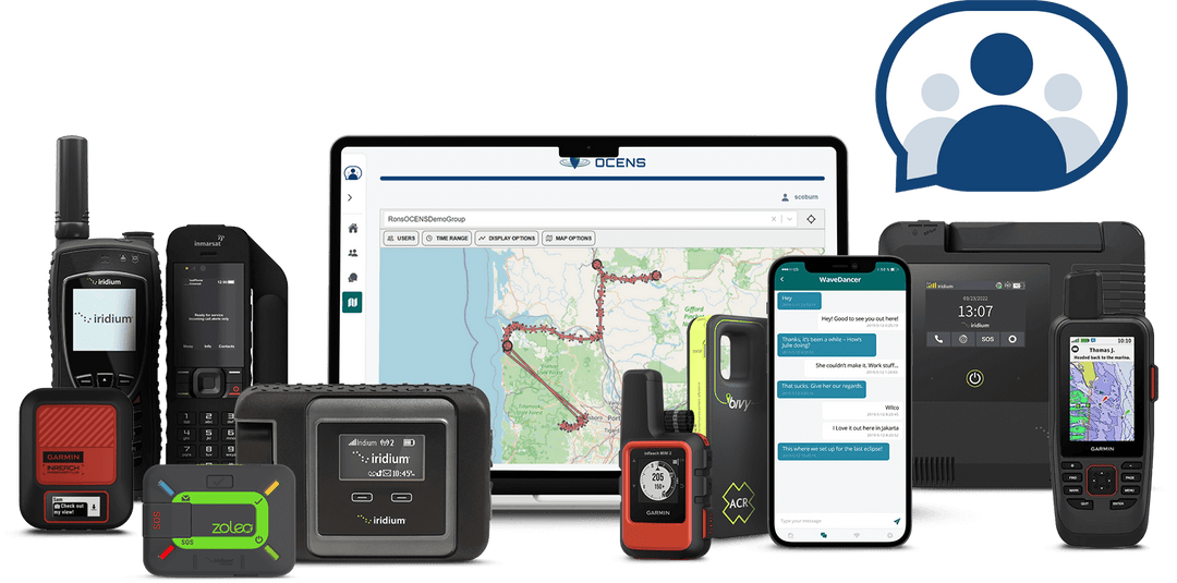
Discover OCENS’ suite of apps designed to enhance your satellite communication and connectivity. From weather updates to tracking and messaging, our apps provide essential tools for staying informed and connected in remote locations. Perfect for adventurers, maritime professionals, and remote workers, each app offers reliable performance and user-friendly features to meet your specific needs.