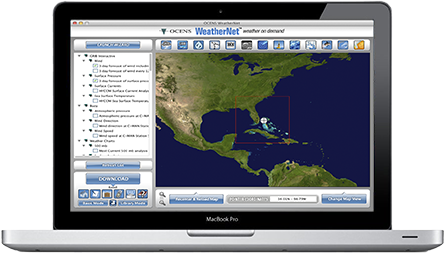


WeatherNet - Global Weather and Ocean Data
- macOS and Windows
Your Gateway to Comprehensive Weather and Ocean Data
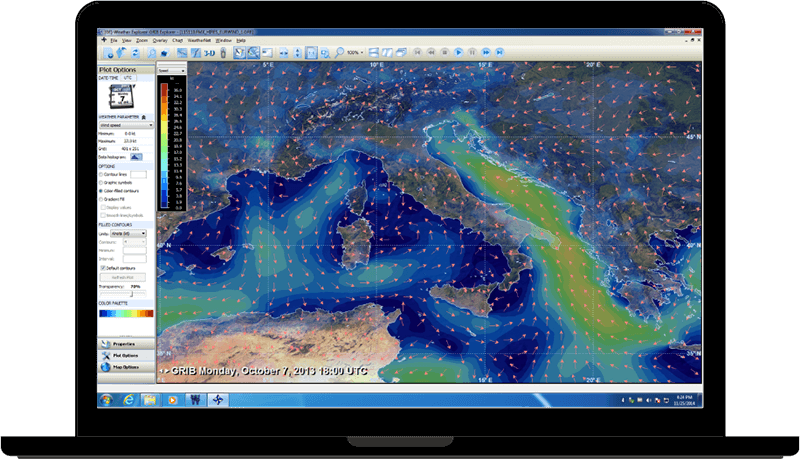
WeatherNet is a weather and ocean data service that offers global coverage and the largest library of GRIB and classical weather data, including ocean and fishing data. It provides fast and affordable delivery to PC, Mac, and almost every satellite device on the market. WeatherNet's patented data transfer engine is the industry leader in content delivery across all satellite and wireless platforms.
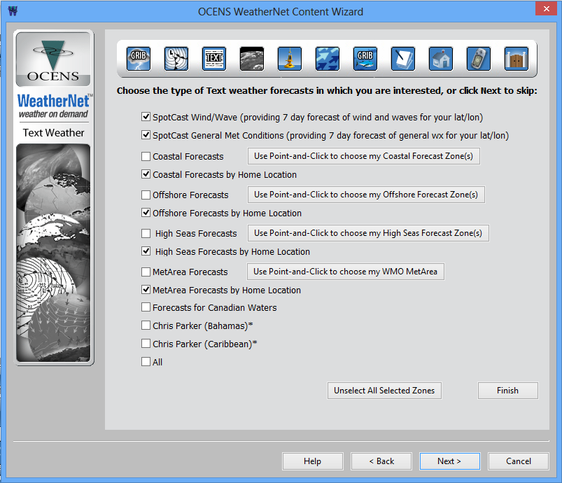
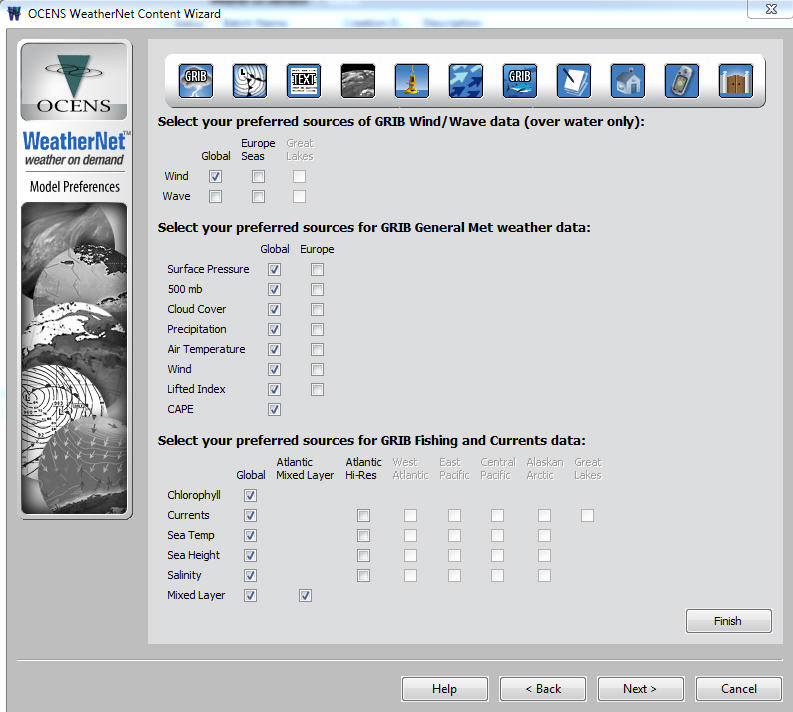
Its new Portal mode allows personalized access to the vast content library, and its key features include a satellite phone connection wizard, incremental updating procedures, and text products with a point-and-click approach or location-based search. The content library includes:
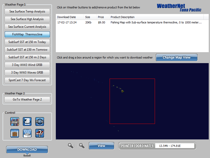
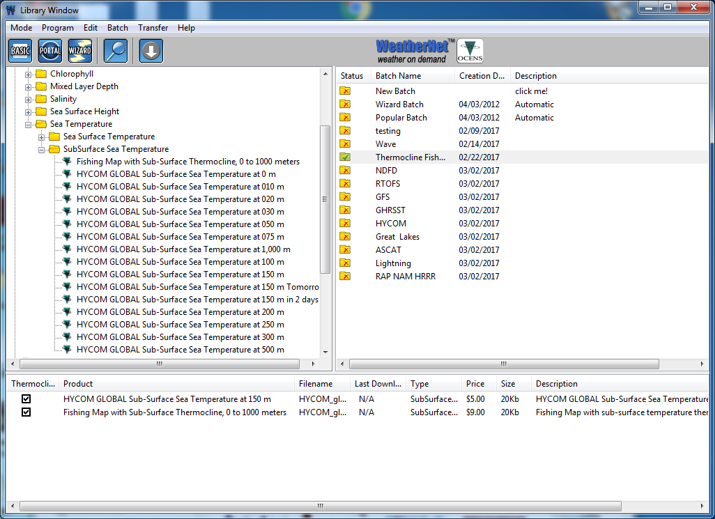
- Co-located GRIB weather and ocean data
- Text information, SpotCast point forecast
- Classic weather charts
- Satellite Wind/Wave
- Chris Parker forecast
- Buoy, radar, tides and more
OCENS continually updates the WeatherNet library with new data sources, including the latest GRIB sources and classical data.